
Independence ZIP Codes by GIS Label
The city GIS ZIP layer is the best captured local starting point for the Independence ZIP code directory. It supplies polygon labels, not a city-proper roster and not a post-office directory. Those labels show the postal geography that touches Independence and nearby places. The table keeps regional labels separate from the ZIPs marked Independence, which prevents a neighboring polygon from being mistaken for an Independence city-limit claim.
| ZIP | Areas covered in captured GIS label | Post office | Notes |
|---|---|---|---|
| 64015 | Blue Springs label | Not captured in research | Neighboring-place label, not automatically Independence proper. |
| 64016 | Buckner label | Not captured in research | Neighboring coverage shown by the GIS service. |
| 64050 | Independence | Not captured in research | City GIS label is Independence. |
| 64051 | Not shown in captured GIS labels | Not captured in research | State ZIP list has an Independence row; USPS verification is required. |
| 64052 | Independence | Not captured in research | City GIS label is Independence. |
| 64053 | Independence/Sugar Creek | Not captured in research | Overlap label; verify the parcel's legal municipality separately. |
| 64054 | Independence/Sugar Creek | Not captured in research | Overlap label; ZIP alone does not settle the city limit. |
| 64055 | Independence | Not captured in research | City GIS label is Independence. |
| 64056 | Independence | Not captured in research | City GIS label is Independence. |
| 64057 | Independence | Not captured in research | City GIS label is Independence. |
| 64058 | Independence/Unincorporated | Not captured in research | Postal label does not establish whether a parcel is inside city limits. |
No official post-office or station assignment for each ZIP serving Independence was captured in the research. Verify a specific mailing address through USPS before publishing or relying on post-office language.
Independence ZIP Map Sources
The city's map collection links ZIP, annexation, census, district, historic, neighborhood, and zoning resources. Use the ZIP layer for an initial geographic check, then add the city-limits layer and the parcel or address-point layer when the legal municipality matters. The map collection is useful because an address can have one postal label, a different utility-service area, and a separate city-limit status.
The Independence maps collection includes the city's ZIP-code map route.
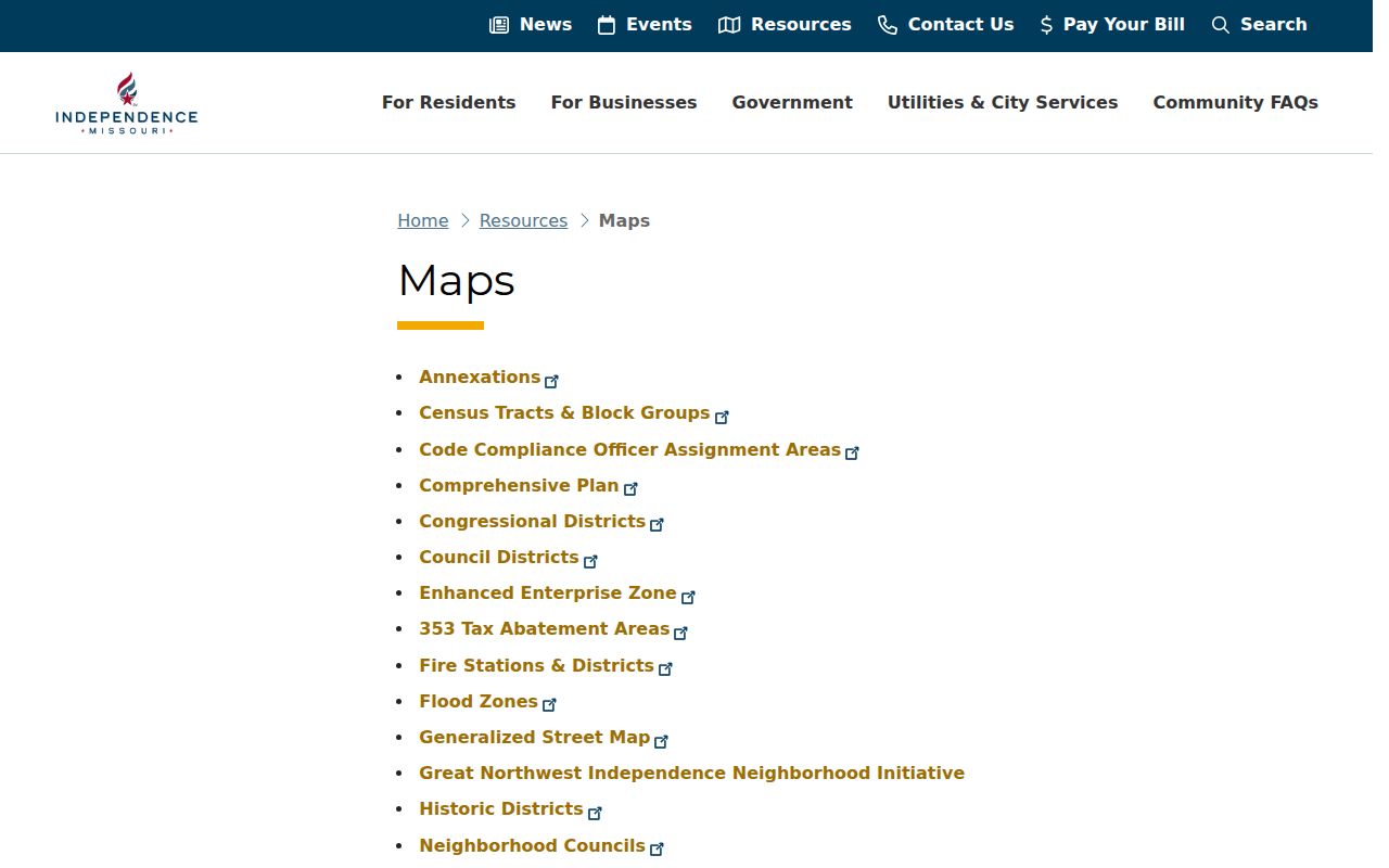
Map layers answer different questions. A postal polygon can help locate an address, while a city-limit overlay and the parcel record are the better checks for municipal jurisdiction.
Note: Pair a city ZIP map with a city-limit or parcel layer whenever local government jurisdiction matters.
Independence ZIP Overlap Labels
The GIS layer explicitly labels 64053 and 64054 as Independence/Sugar Creek. It labels 64058 as Independence/Unincorporated. These are useful local quirks, not errors to smooth away. They show why a city name appearing in a postal or map label should be tested against city limits, county parcel data, or the address authority before it is used as a municipal conclusion.
The City GIS ZIP-code layer is the source for the captured polygon labels.
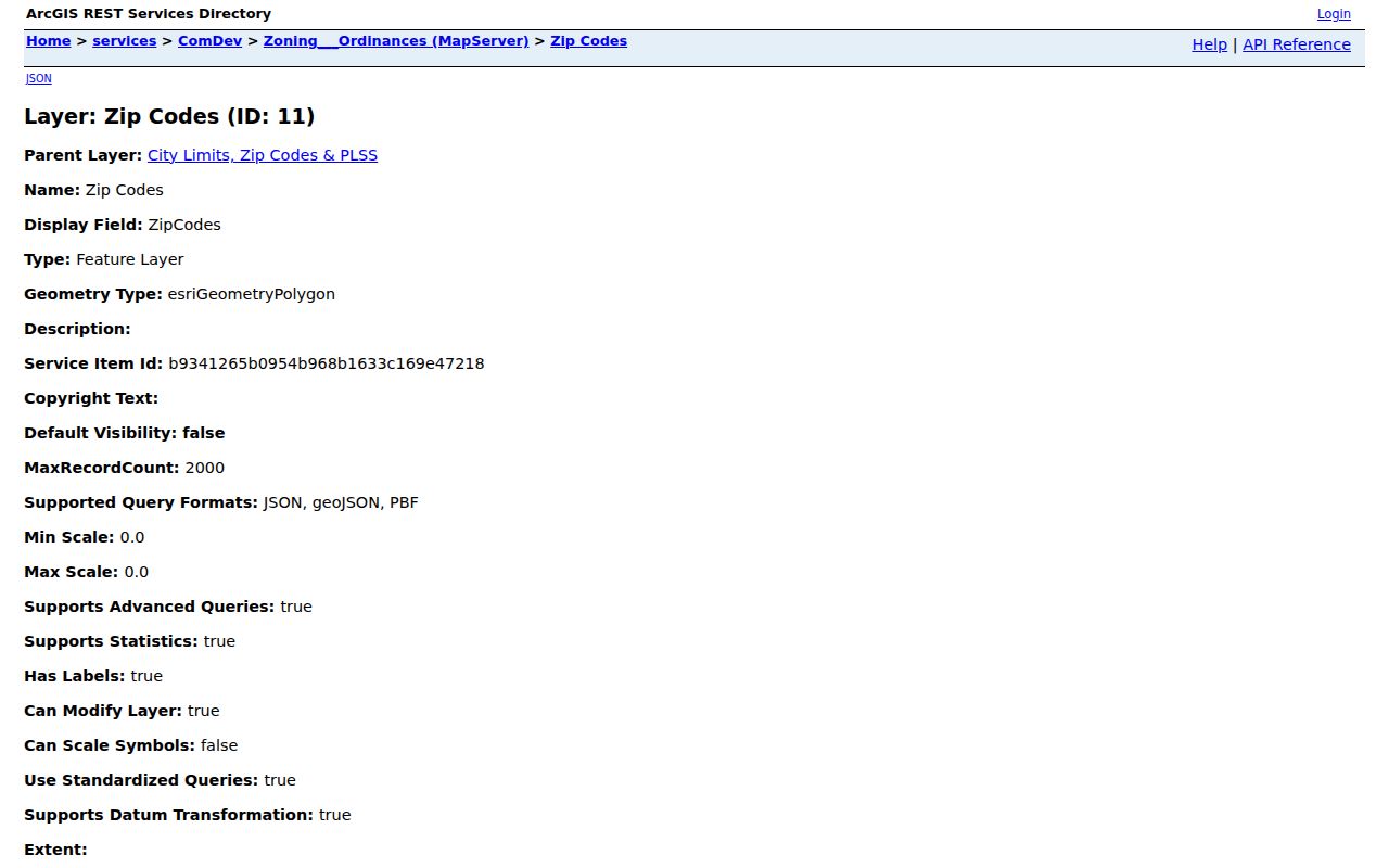
Use this Independence ZIP view as a regional orientation tool. It includes Blue Springs and Buckner polygons as well, so it should not be read as an inventory of Independence alone.
64051 Needs USPS Verification
A Missouri state ZIP list shows a Jackson County and Independence row for 64051, yet 64051 did not appear in the captured city GIS label list. The research did not capture a result-specific USPS response or a station and post-office detail. It may be a postal or PO Box possibility, but that has not been confirmed here. Do not turn the state-list row into a city-limit statement.
The official USPS postal lookup is the documented verification route for a complete address.
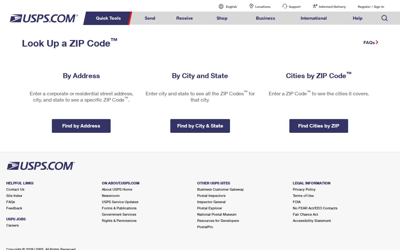
Enter the complete mailing address in the USPS tool, save the returned ZIP information with the access date, and then compare it with Independence GIS and Jackson County parcel information. A postal result does not replace a legal-boundary check.
Note: Postal verification can confirm delivery ZIP information, but it cannot declare a parcel inside Independence city limits.
Search an Independence ZIP Code
A ZIP can narrow address work, but it is not a self-contained directory of people. Use it to normalize a complete address and to choose the right map area. Then move to a parcel, recorded instrument, or historical source that identifies the specific record relationship. This keeps a postal search from being confused with a city resident roll.
- Verify the full mailing address and ZIP through USPS, especially when a state ZIP list and the captured city layer do not match.
- Check the ZIP polygon alongside Independence city limits and the site-address-point or parcel layer. Record whether the label is Independence, a neighboring place, or an overlap.
- Enter the normalized address, including its ZIP, in Jackson County Property Information. Preserve the returned parcel number and legal description if the search finds a current record.
- Use the parcel, legal description, and recorder index for a documented property trail. For a street-wide address workflow after the ZIP is narrowed, use the Independence street directory.
Search results should retain their scope. The county property display is assessment context, the map is geographic context, and a recorder instrument is evidence of a recorded action rather than proof of present occupancy.
Independence ZIP Search Inputs
Jackson County Property Information captures a ZIP as part of the address search, along with house number, direction, street name, city, and autocomplete guidance. The research did not capture a ZIP-only search mode that produces a general list of addresses or people. Treat the ZIP field as one part of a complete-address query rather than as a free-standing filter with universal coverage.
| Search field or source | Use for ZIP-focused work | Important boundary |
|---|---|---|
| USPS complete-address lookup | Confirm the postal ZIP tied to the entered address. | Research captured the lookup screen, not result-specific station details. |
| Property Information house number | Start the county's current address pattern. | A house number alone is not enough for a street or ZIP-wide search. |
| Direction and street name | Use standard abbreviations and autocomplete suggestions. | Historic or unincorporated forms may differ from current city formatting. |
| City and ZIP | Complete the county address query with the applicable postal location. | A ZIP can overlap municipalities. |
| Parcel number and legal description | Carry a successful address search into recorder and map research. | These identifiers, not the ZIP alone, bridge historical records. |
Note: Preserve both the postal ZIP and the parcel's legal description when a record crosses an overlap label or a changing city boundary.
City Limits and Independence ZIP Codes
ZIP boundaries are postal geography. City limits are municipal geography. Utility-service areas are yet another layer. Independence publishes separate city limits, site address points, cadastral properties, and service-area layers because those boundaries can differ. A utility customer location therefore does not establish city residency, and an Independence postal label does not by itself place a parcel inside Independence.
Address assignment adds another check. The city assigns addresses inside city limits, while Jackson County handles unincorporated addresses. If a postal result and the current street form do not line up, keep the city or county address authority separate from the ZIP label. The property record's situs, parcel number, and legal description provide better continuity for a boundary question than a mailing line alone.
- ZIP
- A postal delivery area used to route mail. It is not a city-limit or voter-boundary line.
- ZIP+4
- An added four-digit postal detail that narrows delivery handling within a ZIP. It does not change municipal jurisdiction.
- PO Box ZIP
- A ZIP used for post-office box delivery. It can differ from the ZIP assigned to a physical street address.
- Unique ZIP
- A ZIP assigned for mail handling associated with one organization or destination. No Independence-specific unique ZIP was established in the research.
- Carrier route
- A postal delivery sequence used to organize mail. It is not a legal parcel or city-boundary description.
When the question is city jurisdiction, verify the current parcel and city-limit overlay. When the question is historical jurisdiction, add the dated annexation map and the record date.
Independence Annexations and ZIPs
Independence expanded through eight annexations from 1948 to 1975. The first added nearly seven square miles, nearly tripled the city's acreage, and doubled its population. By 1975, the city reached about 78 square miles. A parcel's modern postal and city labels can therefore be poor shortcuts for describing the same address in an older record.
Use the city annexation maps and dated records when city membership matters. North Main offers one local example: it was annexed in 1851 and developed across several eras from the 1870s into the 1930s. That history supports checking the lot, block, addition, and recorded date rather than assuming one current ZIP tells the full geographic story.
Note: For an older record, pair the ZIP label with its date and a historical annexation map before identifying jurisdiction.
ZIPs Are Not Voter Boundaries
Missouri voter records are controlled by a different system than postal geography. The official lookup requires exact registration information, and Jackson County Election Board describes results in terms of registration, districts, polling location, and ballot information. A ZIP does not substitute for a precinct, ward, township, or county jurisdiction.
RSMo 115.157 specifies public voter-data fields and limits its use. The statute does not require a general voter list to be posted online. For election records, maps, or lists, use the Election Board's documented public-records request route and follow its stated procedures. Keep postal, parcel, and election data distinct.