
Find Independence Streets by Address
An address search works best as a short chain, not as proof that one display answers every question. Jackson County Property Information can normalize a current address and return the parcel context. The parcel and legal-description details then provide a steadier bridge to the recorder than a street name alone. The recorder index identifies recorded instruments, while the Midwest Genealogy Center can add dated directory or phonefiche evidence for selected years. Each source answers a different question about an Independence street.
- Enter the current house number, directional, street name, city, and ZIP in Jackson County Property Information. Preserve the suggested address spelling, parcel number, and legal description.
- Open the parcel in the Jackson County Parcel Viewer to compare the mapped situs, owner and mailing display, land-use context, and nearby parcels.
- Search the Jackson County recorder portal with the current owner or party name and the legal description. Record document numbers, roles, dates, and instrument types rather than relying on a name match.
- For election-related context, use the official Missouri lookup only with the required exact registration data, or use the Jackson County Election Board public-records channel for a lawful, limited request. A voter record is not a street-wide resident list.
- For a past household lead, consult Midwest Genealogy Center directory microfilm and phonefiche by address where the relevant run exists. Compare the listing with the deed and map record before drawing a conclusion.
That sequence separates a physical property from the people or documents that may be connected to it. It also leaves a useful audit trail when an address spelling, parcel boundary, or city label changes over time.
Normalize an Independence Street Search
Property Information asks for a house number, direction, street name, direction, city, and ZIP. Jackson County instructs searchers to use standard abbreviations, omit punctuation after street types and directionals, and follow autocomplete suggestions. The state is not part of the displayed input pattern. This small cleanup matters because a portal can return nothing when an older spelling, a directional, or a street-type punctuation mark differs from its current form.
A parcel number can appear in a 17-digit dashed pattern or as a 16-digit form without dashes. Keep both the displayed and normalized forms when a search succeeds. The county and city do not assign all addresses: the city assigns addresses inside its limits, while Jackson County assigns them in unincorporated areas. That distinction can explain why county and city layers do not always present an address in exactly the same way.
| Property Information field | How to use it |
|---|---|
| House number | Enter the numeric house number required by the displayed address pattern. |
| Direction | Use the standard directional abbreviation when the address has one. |
| Street name | Type the street name without punctuation and select the portal's autocomplete suggestion. |
| Trailing direction | Include a final directional only when it belongs to the standardized address. |
| City and ZIP | Use Independence and the applicable ZIP, recognizing that the ZIP can cross a municipal boundary. |
| Search or clear | Run the search after selecting the suggested form, or reset the fields before testing a variant. |
Note: Keep former street names and address variants beside the standardized result, especially when a historical deed or directory does not use the current address.
Independence Street Directory Property Fields
The county separates the physical location, also called the situs, from the mailing address used for correspondence. A mailing contact can be outside the area or shared across more than one parcel. It does not establish who occupies the site. Likewise, the assessment owner display is helpful orientation, but the county cautions that a prior owner may remain visible until assessment information updates. Use a recorded instrument when the question turns on title or a transfer.
- Parcel
- A county assessment and GIS identifier for a mapped piece of property. It is a bridge to other records, not a deed number.
- Situs address
- The physical location shown for the parcel. It can differ from the mailing address and from a historical street form.
- Plat
- A recorded map that can show a subdivision or addition, lots, blocks, streets, alleys, easements, and dedications.
- Criss-cross directory
- An address-organized directory that can be read by street, then reversed to compare a listed name in the same or a nearby year.
This mailing-versus-situs distinction is especially useful on an Independence street where a tax contact is not at the parcel. Preserve the legal description as well as the address. The city home-history guidance uses the legal description first because an address by itself may not locate an older parcel.
Inspect Independence Street Parcels
The Parcel Viewer offers a street-level way to inspect current geography without turning nearby parcels into a list of occupants. Its visible fields include parcel number, address, lot size, building information, land-use code, tax-code area, exemption, legal description, school, library, fire, and water districts, values, owner and mailing information, TIF fields, and map, print, or export controls. Read those fields as assessment and mapping context.
The Jackson County Parcel Viewer shown here includes its parcel panel and map tools.
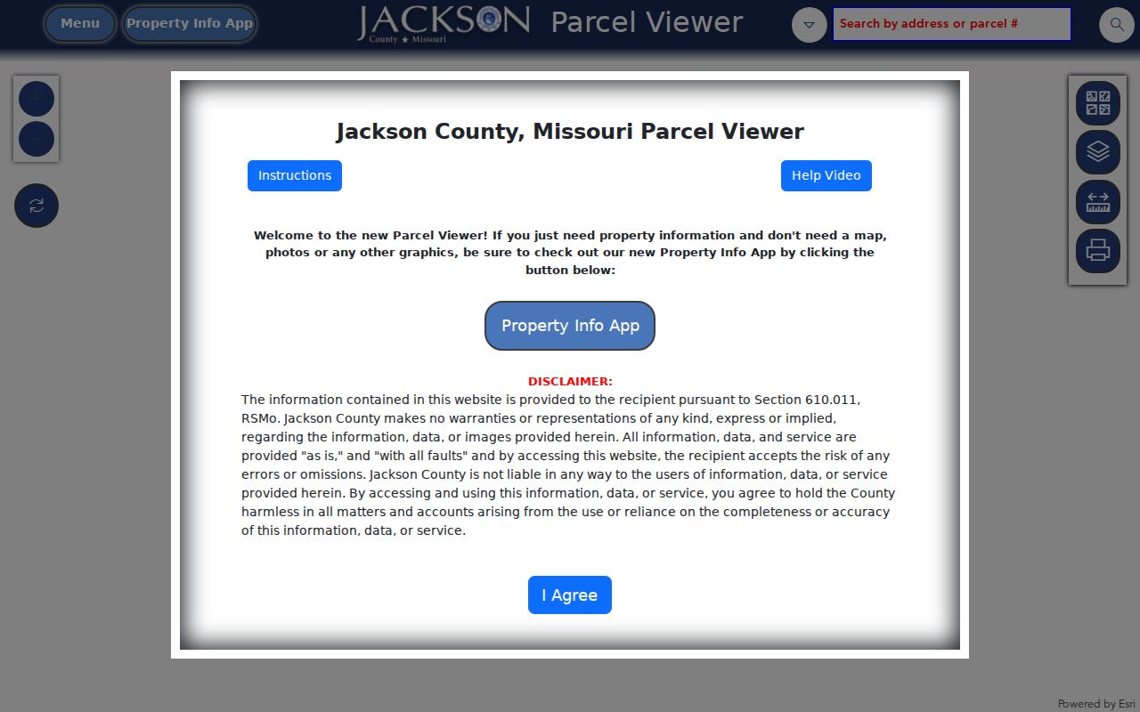
Use the legal description returned there to bridge an Independence street search into the recorder index. County guidance says GIS and assessment systems do not keep easement records, so rights-of-way, restrictions, easements, and plats require a recorder search.
Independence Address Points on a Street
For the map spelling and point location of a street address, the city maintains an official Site Address Point GIS service. It can be compared with the parcel viewer, city limits, building footprints, plats, public-ownership parcels, neighborhoods, and HOA-district layers. Those layers supply geography. An HOA district is not a membership roster, and adjacent parcels do not reveal every person associated with a block.
The City Site Address Point service provides the official address-point reference captured below.
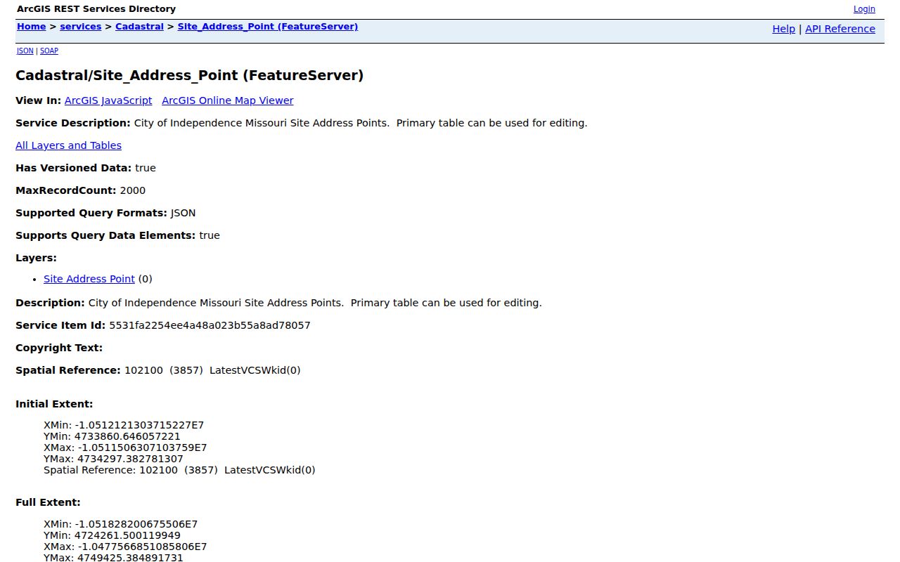
Start with the point and its standardized address, then compare its parcel and legal description. This sequence is safer than assuming that a nearby map label or a ZIP label establishes the same jurisdiction.
Note: City address points establish mapped location and spelling; they do not replace a recorder instrument or determine who occupies a parcel.
Trace an Independence Street Deed Chain
Jackson County Recorder of Deeds reports an electronic and microfilm inventory of about 10 million documents dating to 1826. Its current page says recorded documents online reach back to the early 1960s, while plats reach to 1826. Earlier non-digitized documents can be consulted on microfilm at either recording office. The recorder's online categories are Official Public Records, Marriage Records, and Uniform Commercial Code; UCC is a personal-property and fixtures category, not a substitute for a real-estate deed search.
The Aumentum public-records portal shows the recorder's search choices.
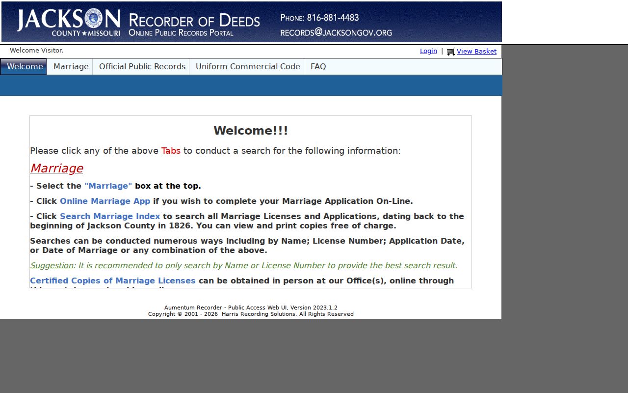
For each relevant result, capture the grantor and grantee roles, instrument type, recording date, document number, book or page if shown, legal description, parcel number if indexed, and image or copy status. A warranty deed, quitclaim deed, trustee's deed, release, plat, affidavit, judgment, or easement can place the same name in very different roles.
When online results stop, give the recorder the addition, block, lot, date range, likely parties, and document type for microfilm help. Staff can assist with indexes, microfilm, and the computer system, but the recorder does not conduct full telephone searches or make legal determinations. Copies are available by mail or in person; a certified copy is the appropriate route when formal proof is required. Recorder correspondence is directed to Recorder of Deeds, Jackson County, Missouri, 112 W. Lexington, Suite 30, Independence, MO 64050; confirm the address and fees before mailing.
Independence Street Records at a Glance
An Independence street directory draws its value from keeping record types separate. Current property sources help orient an address. The recorder documents instruments and plats. City address points establish map context. Building and property-maintenance channels may supply a lead for work or code history, yet the city does not promise a complete address-level history online. Midwest Genealogy Center material offers historical listings only for the runs it holds.
| Address-keyed source | What it can show | Practical access | Key limit |
|---|---|---|---|
| County Property Information | Standardized address, parcel number, and legal-description bridge | Online property search | Current address context, not a title record |
| County Parcel Viewer | Parcel, assessment fields, districts, map, print, and export tools | Online GIS viewer | Does not resolve easements or prove occupancy |
| Jackson County Recorder | Recorded instruments, plats, document numbers, and deed-chain leads | Online index, office, mail, and microfilm | Online recorded documents begin in the early 1960s |
| City Site Address Points | Mapped city address spelling and point location | City GIS service | Live query fields were not captured in the research |
| City permit and code channels | Permit-process and property-maintenance record leads | City department or written request | Retention varies and exact online coverage is not guaranteed |
| MGC directories and phonefiche | Dated household or business listings and address spelling | Library microfilm and phonefiche | Runs have gaps and listings are not title proof |
Parcel numbers and legal descriptions make the strongest links between these sources. A street name is useful, but it is more likely to shift in spelling, direction, municipal label, or historical usage.
For a permit lead, use the city's Building Inspections channel. For a code or compliance lead, use Property Maintenance. The city home-history material says ordinary permit retention may be roughly 20 to 30 years, sometimes 40 to 50, with rare material before 1950. That is a retention caution, not a promise that a particular address file exists.
Note: Capture the access date and source type because portal availability and assessment displays can change without altering the recorded instrument.
Independence Property Access Can Pause
Jackson County launched its Public Property Access Portal on June 16, 2025 for real and personal property information, current and prior value tabs, printable impact notices, and property record cards. It is an assessment and public-access service, not a certified deed source. During the research pass, the portal root displayed a maintenance notice. That observation does not mean the service is permanently unavailable, but it is a reason to keep a fallback route ready.
The Jackson County Public Property Access Portal is shown in this capture.
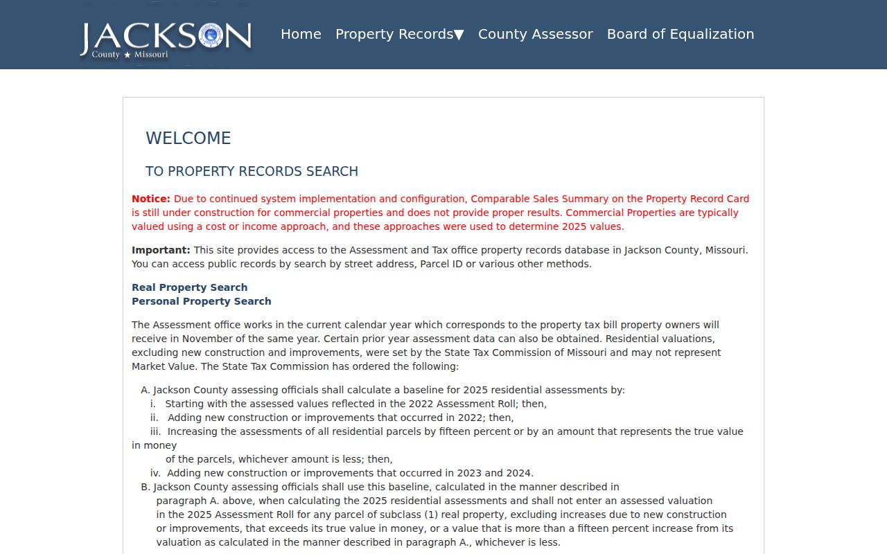
If the portal is unavailable or a result is incomplete, return to Property Information and the Parcel Viewer for parcel context, then contact the recorder for recorded instruments. For city-held permit, maintenance, or other city records, use the applicable department or a written Chapter 610 request through the Independence City Clerk records-access channel; the city may estimate fees in advance.
Independence Street History and Annexations
An old Independence street record can have a county or neighboring-place label even when the present parcel lies inside the city. The first of eight annexations in 1948 added nearly seven square miles, nearly tripled the city's acreage, and doubled its population. By 1975, the eight annexations had expanded Independence to about 78 square miles. City-limit status should be checked at the date of the record when jurisdiction matters.
North Main shows why a modern street can contain several record eras. The city says it was annexed in 1851, developed from the 1870s into the early 1900s, and later gained subdivisions and bungalows from the 1910s through the 1930s. Use dated annexation maps, plats, and the legal description before treating the current city label as historical proof.
Note: A ZIP or service-area label may describe postal or utility geography, while city limits and parcel records answer a different jurisdiction question.
Independence Street Directories at MGC
The Midwest Genealogy Center holds Independence directory material on named reels for scattered years from 1911 through 1960, followed by phonefiche runs in the late 1980s, 1990s, and 2001. The gaps matter. The center's microform list also uses “SEE Kansas City, MO” for some Independence years and warns that telephone books can misspell town names. Those entries guide a holdings search; they do not establish a municipal boundary or prove that a household was absent.
Use the street address to read available city directories in chronological order, then search a listed name in the same year or an adjacent one. Compare each entry with recorder, parcel, newspaper, or census evidence. The Midwest Genealogy Center is the documented holding location. Historical volumes are the focus of the Independence City Directories collection page; here, they serve only as an address-based cross-check.
Independence Street Voter Data Limits
Missouri's official voter lookup requires exact-as-registered first and last names, date of birth, the last four digits of a Social Security number, and county selection. Jackson County Election Board describes its results as registration information, districts, polling location, and ballot information. This is an individual registration route, not a way to browse a street.
RSMo 115.157 limits the fields and uses of public voter data. Public electronic media or printouts can include specified registration and geographic fields, but the statute does not require online publication and prohibits commercial use. The Election Board's public-records request form is the documented channel for voter lists, history, maps, and election records, with stated response and fee procedures.
Note: Protect exact registration data and use the Election Board request process only for its documented public-records purpose.
Limits of an Independence Street Directory
Address-keyed records cannot establish every resident connection. A parcel card can show assessment information, a mailing contact, and a current owner display. A deed index can show a recorded role. A directory can show what it listed at a particular time. None should be turned into a claim about current occupancy without a source that actually says so, and a name-only match needs independent confirmation.
For a correction, an official copy, a sealed or unavailable item, or a record that affects an estate or legal matter, contact the office that holds the record. Keep the source URL and access date with notes from every Independence street search.