
Independence Previous Residents by Era
Past residents are not contained in one official roster. For an Independence address, the strongest sequence joins a parcel identifier and legal description to recorded instruments, then tests who was actually listed at the address through dated directories, census material, maps, newspapers, and cemetery or probate leads. The source changes with the era. A recorder instrument can establish a party to land, while a directory or phone listing is evidence of a listing, not ownership or every occupant.
| Source | Years | Where Held | What It Shows |
|---|---|---|---|
| Jackson County recorded-document index | Early 1960s to present online | Jackson County Recorder of Deeds | Parties, instruments, recording dates, document references, and legal-description leads |
| Recorder plats | 1826 to present in the recorder inventory | Jackson County Recorder of Deeds | Lots, blocks, additions, streets, and continuity clues |
| Earlier recorded documents | Before the online boundary | Microfilm at either recording office | Older deed and related-instrument research |
| MGC Independence directories | Scattered 1905-1960 runs | Midwest Genealogy Center | Dated resident or business listings, where a volume is held |
| MGC Independence phonefiche | 1988-1997 and 2001 | Midwest Genealogy Center | Telephone-subscriber listings, not a full occupancy record |
| Federal census at MGC | 1790-1930 collection coverage | Midwest Genealogy Center | Household context for a documented period |
| Sanborn maps | 1870s-1950s | MGC Digital Sanborn and Historic Preservation paper copies | Building footprint, stories, material, and address context |
Begin at the date nearest to the question. Modern parcel and recorder systems are useful for the recent trail. For an older Independence address, use the legal description and a narrow date range before moving to microfilm, MGC, city historical resources, or a written records request. The absence of a result in one channel does not settle the question.
Independence Address History Records
Insider tip: the City of Independence home-history workflow says to begin with the legal description, not only the modern street address. Preserve the addition, block, lot, tract, and any former street name. A street number can change, a street may be renamed, and a historic parcel may be identified in a deed without a modern-looking address. The current county property tools distinguish physical situs from mailing address, so neither display should replace the lot-and-block language in the recorded record.
The Independence home-history guide outlines the legal-description-first route through deeds, plats, directories, permits, maps, newspapers, and local history.
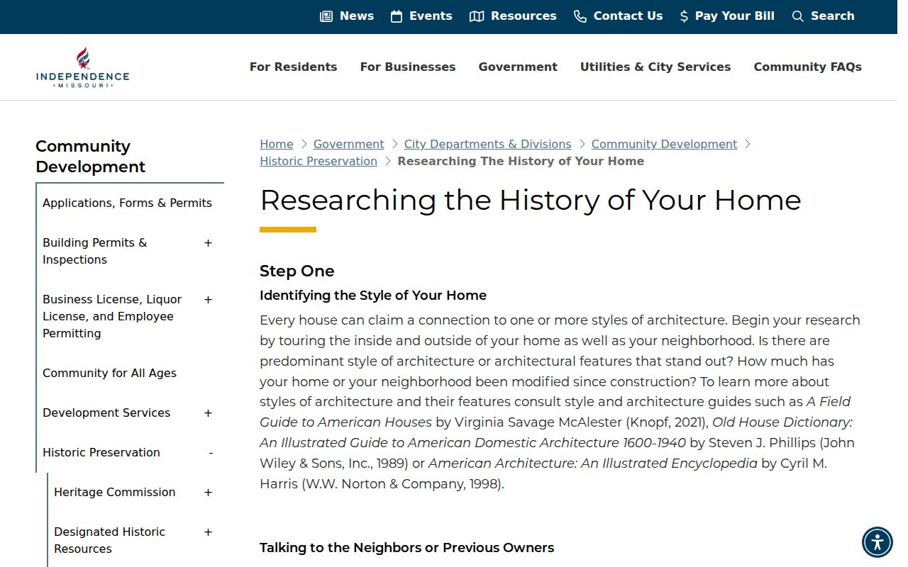
Use a current parcel display as an orientation tool, then copy its legal description exactly. The city guide gives a model such as block, lot, addition, and city wording. That language is the bridge from a current address to old deeds and plats, especially when the address trail goes cold.
Jackson County Deed Trail from Independence
The backward deed chain begins with today's parcel, not an assumption about who lived there. Search the Jackson County Public Property Access Portal or the Parcel Viewer for the current address, then preserve the parcel number, situs, owner and mailing display, legal description, and source date. The county warns that an assessment display can lag a recorded transfer. Use the Recorder of Deeds search route to verify the instrument, party roles, date, and document reference.
- Start with the current parcel and its legal description. Save the exact wording, current address spelling, and any visible former-owner clue as leads rather than conclusions.
- Find the current owner as a grantee in the recorder index, then record the grantor, grantee, instrument type, recording date, document number, book/page if shown, and copy status.
- Use the seller from that instrument as a grantee in an earlier transfer. This looks for the seller's own prior acquisition of the same legal description.
- Repeat the backward sequence while checking plats, releases, affidavits, probate-related instruments, trustee or sheriff deeds, and other records that explain a change.
- When the chain reaches the online boundary, request narrow index or microfilm help using the date range, names, document type, and legal description. Recorder staff can help review indexes and microfilm but do not conduct full telephone searches.
- Grantor
- The party transferring an interest in an instrument. A grantor is not automatically the only occupant of the address.
- Grantee
- The party receiving an interest in an instrument. A grantee may be an individual, trustee, estate, or organization.
- Chain of title
- The linked sequence of recorded instruments that traces interests in the parcel. It is not a list of everyone who lived there.
- Legal description
- The recorded land identity, such as addition, block, lot, tract, or metes-and-bounds text. It connects records that use different street-address forms.
Keep the parcel and legal description beside each instrument as the chain moves backward. A matching surname without that parcel bridge can identify a different Independence property, a spouse, a trustee, or another party rather than a past household.
Independence Previous Residents and Microfilm
The current recorder says online recorded documents reach back to the early 1960s and that plats reach to 1826. Non-digitized material is available on microfilm at either recording office. The older city home-history guide uses a pre-1970 microfilm instruction instead. The two statements are not a license to choose a convenient cutoff. Treat the recorder's current language as the operating access rule, keep the older guide as historical workflow context, and ask the office about the document type and exact date that matter to the search.
Mail and in-person channels remain useful when the online index stops. The recorder says online viewing and printing are free when the browser accepts cookies, and it offers copy services through the office. Staff can assist with the index, microfilm, and computer system, but cannot make legal determinations. A search request is most useful when it names the addition, block, lot, likely parties, document type, and narrow date range.
Note: A recorded name, an assessment owner field, and a mailing address each answer different questions and should be retained as separate evidence.
Past Residents in Independence Directories
The household trail is different from the deed trail. The city guide says Independence can be researched by address in directories from the 1930s forward and by owner or resident for earlier material when the holdings permit. MGC's exact runs have gaps, and the guide's "SEE Kansas City, MO" notation is a filing clue, not a municipal-boundary finding. Phonefiche is also weaker for continuity because it can omit unlisted people, use a different household member, or cover only telephone subscribers.
- Choose an available directory or phonefiche year close to the address period and preserve its reel or fiche reference.
- Copy the listed name, address spelling, and any field actually present. Mark an unavailable year as a holdings gap, not a negative finding.
- Pair the dated listing with the nearest relevant census material at MGC, comparing household and address context rather than relying on one shared name.
- Test a move, death, or family connection with a dated newspaper item, cemetery record, school collection, probate file, or recorded instrument.
- State the result with a confidence label such as "listed at," "recorded as a party to," "possible match," or "not located in the sources searched."
The exact reels, phonefiche dates, and reading limits belong with the Independence city directories. That collection information helps distinguish a missing volume from a missing household.
Independence Historic Address Records
Digital Sanborn Maps through MGC provides a route to historic fire-insurance map research. The city's home-history guidance says Sanborn material from the 1870s through the 1950s can show an address, stories, footprint, construction material, and changes. Digital access requires a current KCPL or MCPL card, while Historic Preservation holds paper-copy access. That is building context, not a person identification method.
A Sanborn footprint can help decide whether the building, lot, or street configuration fits the period of a directory listing. Compare it with the legal description and recorded plat. The 1877 SHSMO Jackson County atlas and the city guide's 1860s bird's-eye map provide further period orientation, but neither is a substitute for a boundary survey or recorded title evidence.
Independence Previous Residents in Permit Files
Independence Building Inspections is the contact route for permit-related leads. The home-history guide says ordinary permit retention may be about 20-30 years, sometimes 40-50 years, and rare before 1950. Those are retention cautions, not a promise that an address has a complete permit history. A permit can suggest work or an owner named in an application, but it does not by itself show who lived at the address.
Use assessment and tax changes in the same careful way. The county's property displays and sales data can help select the next record, but the city guide calls tax-increase clues approximate. Confirm construction or alteration timing with a dated permit, Sanborn map, deed, newspaper, or other independent record.
Independence Address Record Boundaries
Jurisdiction can change the record path. Independence's first of eight annexations in 1948 added nearly seven square miles, nearly tripled acreage, and doubled population. By 1975, the city had reached about 78 square miles. A place now inside Independence may have carried a county, unincorporated, or nearby-place label in an older record. Check the city limit and agency that applied on the date of the source before reading a municipal label as fixed.
North Main supplies a local example. The city says it was annexed in 1851, developed from the 1870s into the early 1900s, and later gained 1910s-1930s subdivisions and bungalows. Its present boundaries are described as east Liberty, west Noland, south Truman, and north U.S. 24. Those eras explain why one address can require a plat, map, directory, and parcel comparison rather than one modern database search.
Independence Record Corroboration
Woodlawn Cemetery is the official starting point when a plot or section is known. The city reports that the cemetery was founded in 1837, covers 56 acres, and is Jackson County's oldest continuously used cemetery. It directs researchers to the cemetery map and office for plot information, with a secondary memorial source only as a fallback where city plot details are unavailable.
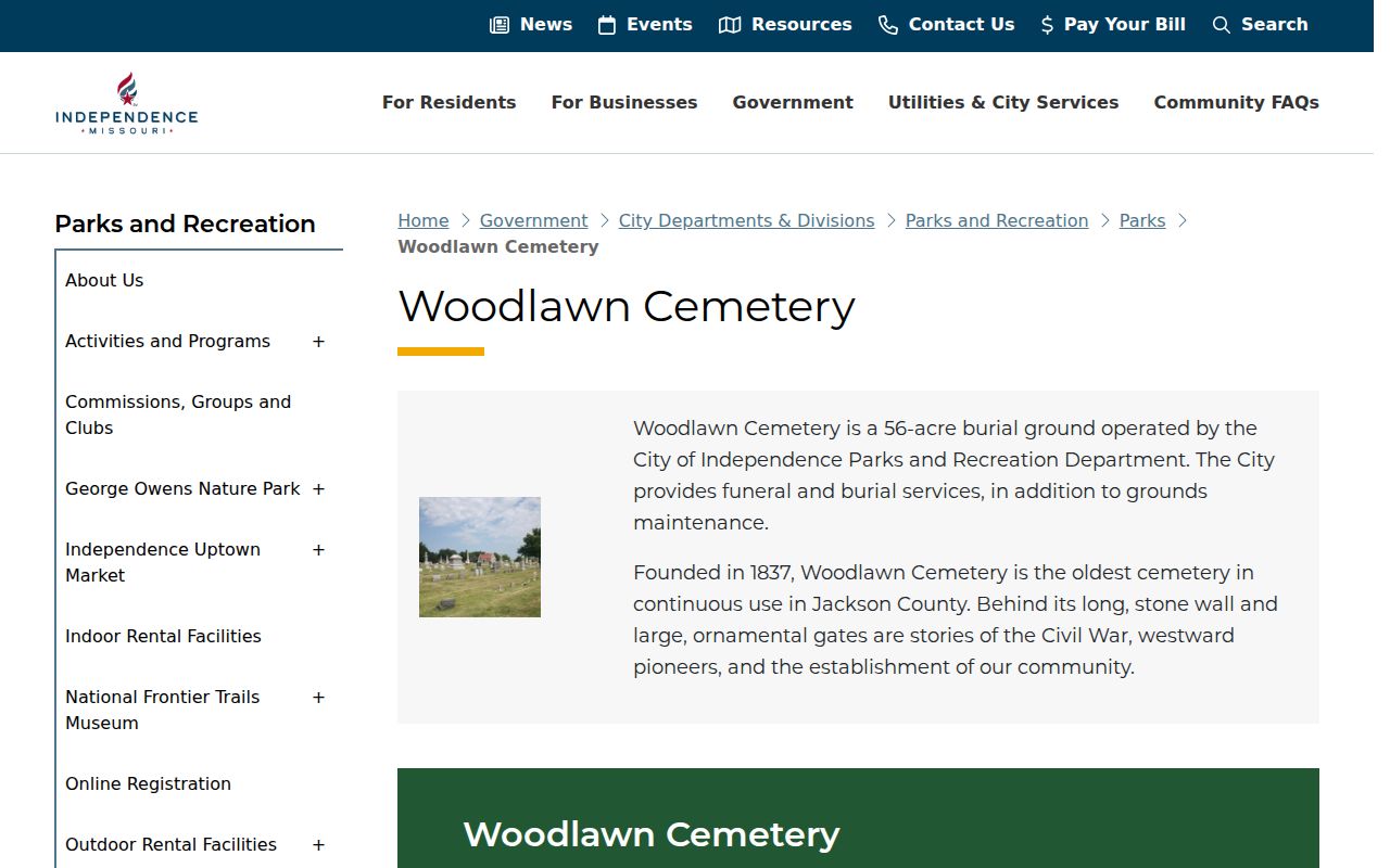
The Woodlawn route can anchor life dates or family relationships, then a newspaper or probate record can test the connection to an address. The SHSMO newspaper holdings list identifies Independence titles and date-specific reel holdings. For court proceedings, use Missouri Case.net and preserve the case number, party role, and docket status rather than treating a name result as identity proof.
Confidence for Independence Past Residents
Use clear confidence language when records do not fully agree. "The directory lists" describes a dated listing. "The deed index shows a recorded instrument by" describes an index fact. "The current parcel display identifies" describes the assessment view, which may lag a transfer. "No matching item was located in the sources searched" is honest about a failed search without claiming that no record exists. These short labels make a past-residents trail usable for family history and property research without overstating it.
Lawful use. Independence house-history research is for personal, family, estate, and local-history questions. Do not use records to track, harass, or repeatedly contact a living person, and do not attempt to reverse a protected substitute address.
For a person-centered question, stop when the record does not support a stronger conclusion. A dated, source-specific note is more useful than combining separate clues into an unverified resident history.